This past week myself and four cohorts took on an Eastern Sierra backpack trip that included a summit bid on the 13,200 ft, Mt. Ritter via the Nydiver Lakes.
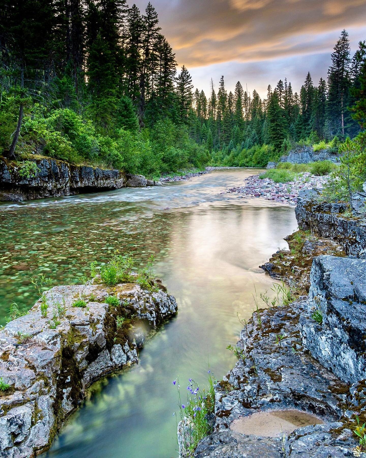
Day one (8/11/2014) was spent hiking 8 miles from the Minaret trail head to Minaret Lakes. We fly fished and recovered from the uphill slog to altitude while thunderstorms built overhead. By dusk we were greeted with the ominous rumble of thunder and a hail/rain storm that went on and off throughout the night. I had chosen to go as ultralight as possible (SLR and tripod excluded) so my only helter was an OR Helium bivy sack. Having never spent a night in the cocoon of a bivy this was rather uncomfortable in a lighting striking downpour but we all survived relatively dry and lightening strike free.
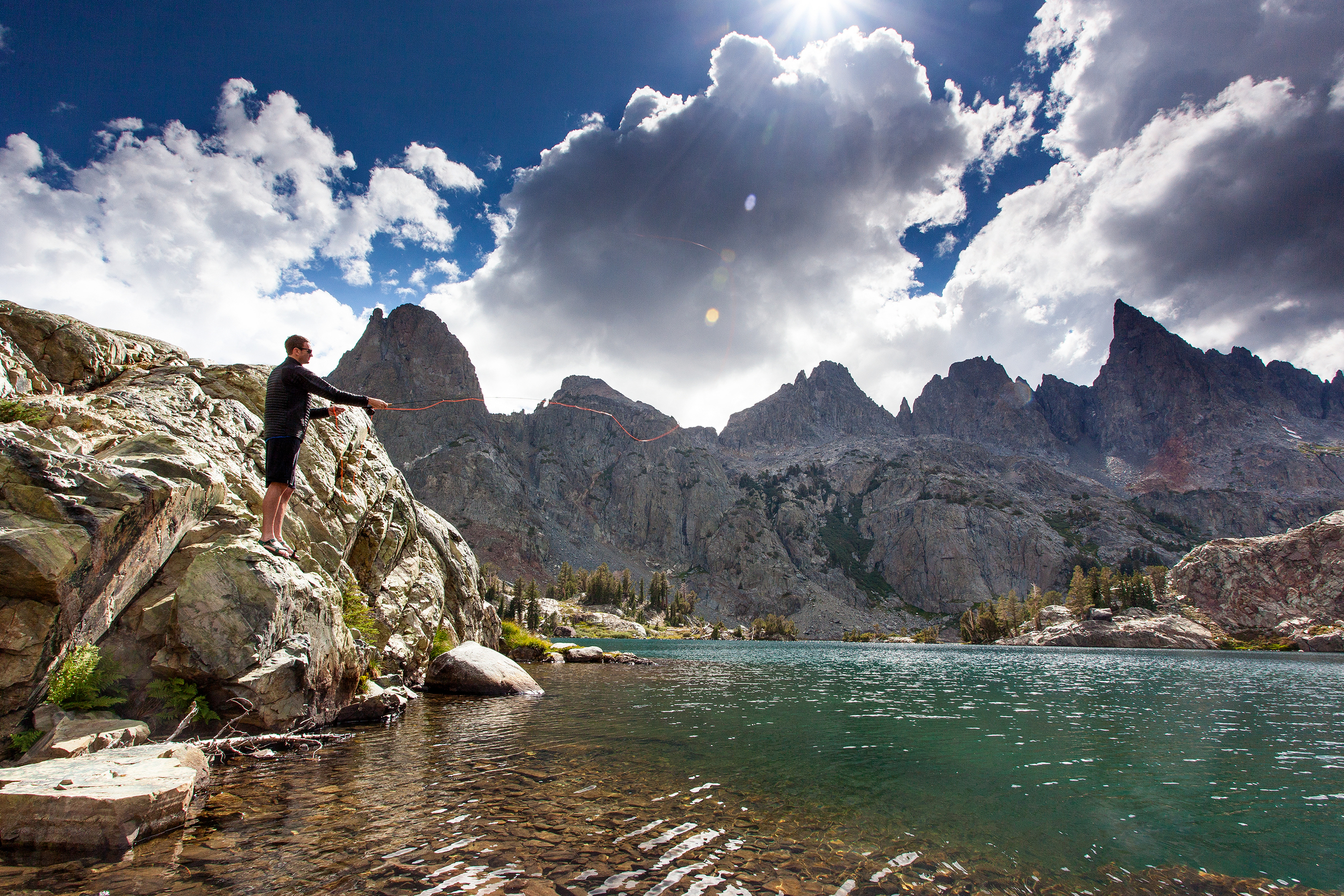
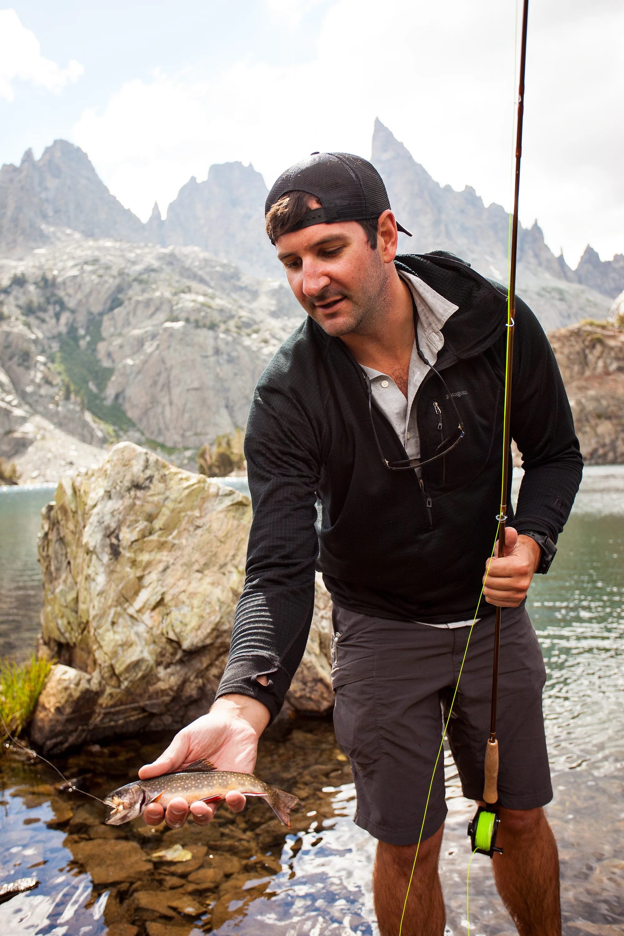
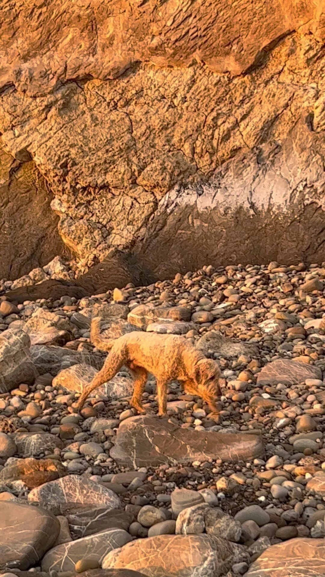
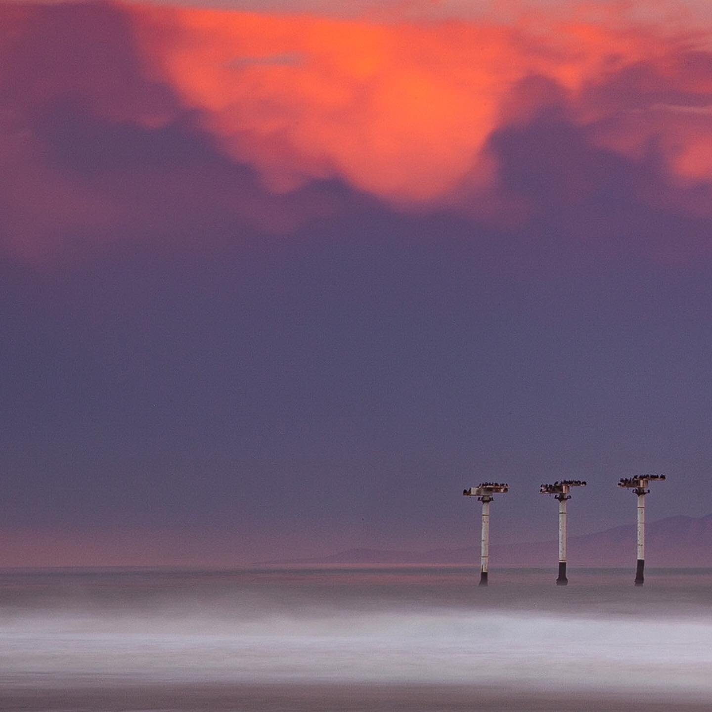
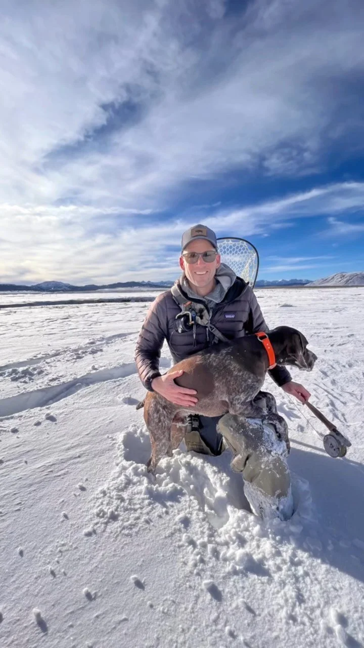
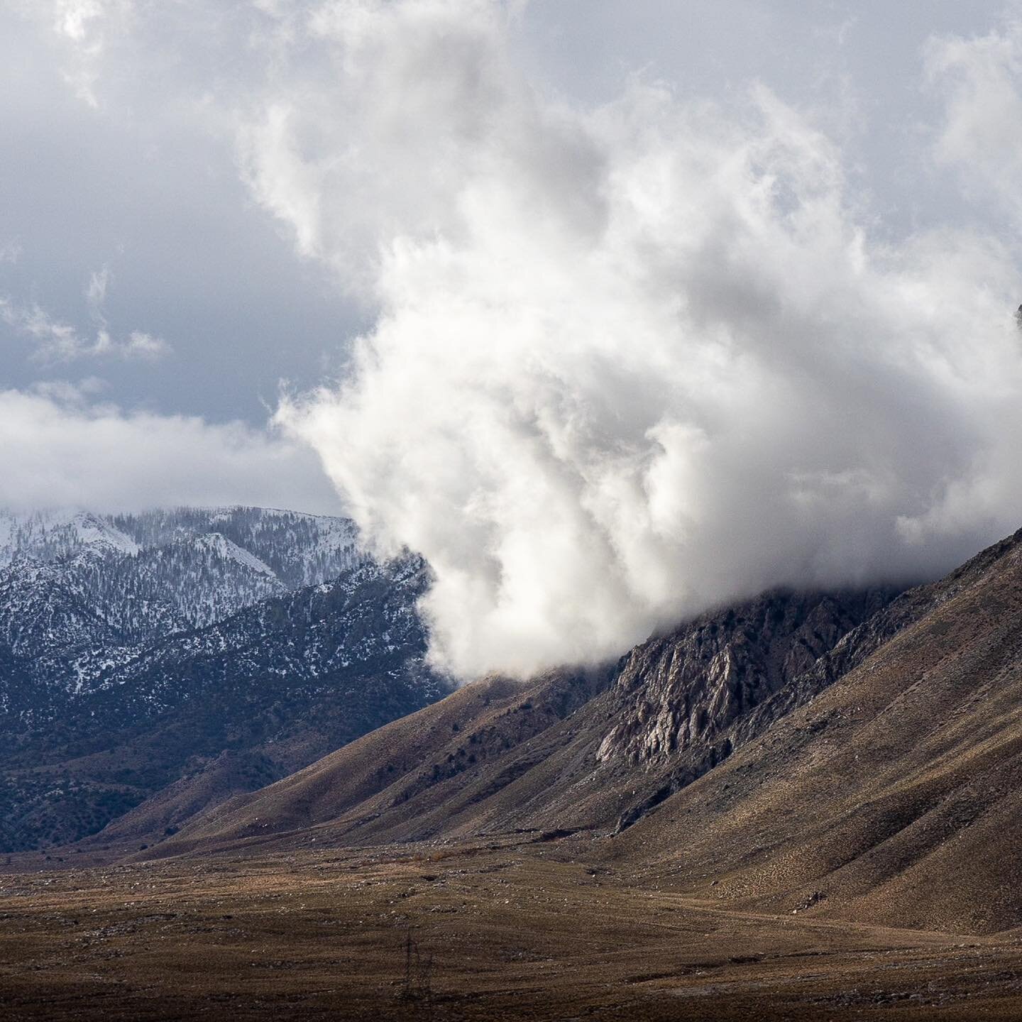
Day two (8/12/2014) we awoke to more threatening skies but we packed up and skirted the Minaret Lakes for the Sierra high route to Cecil and Iceberg Lakes. This included an off trail scramble and a 20 ft class 4/5 reach to the ridge with our 50 lbs pound packs. Adrenaline was our friend. The crew then navigated the rock scree around Cecil lake and down to Iceberg and Ediza Lakes before beginning an uphill climb to another off trail location, Nydiver Lakes. The climb to Nydiver gave us our first good look at the Ritter route in preparation for the next days summit attempt. Once at Nydiver, we raised camp, gorged on calories and broke out the fly rods. The brooke trout at these high lakes nearly jump onto the flys.
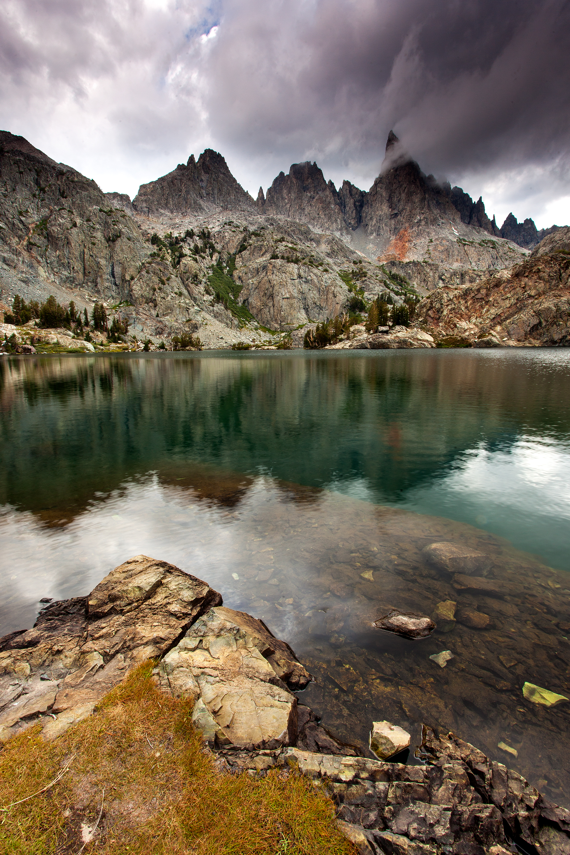
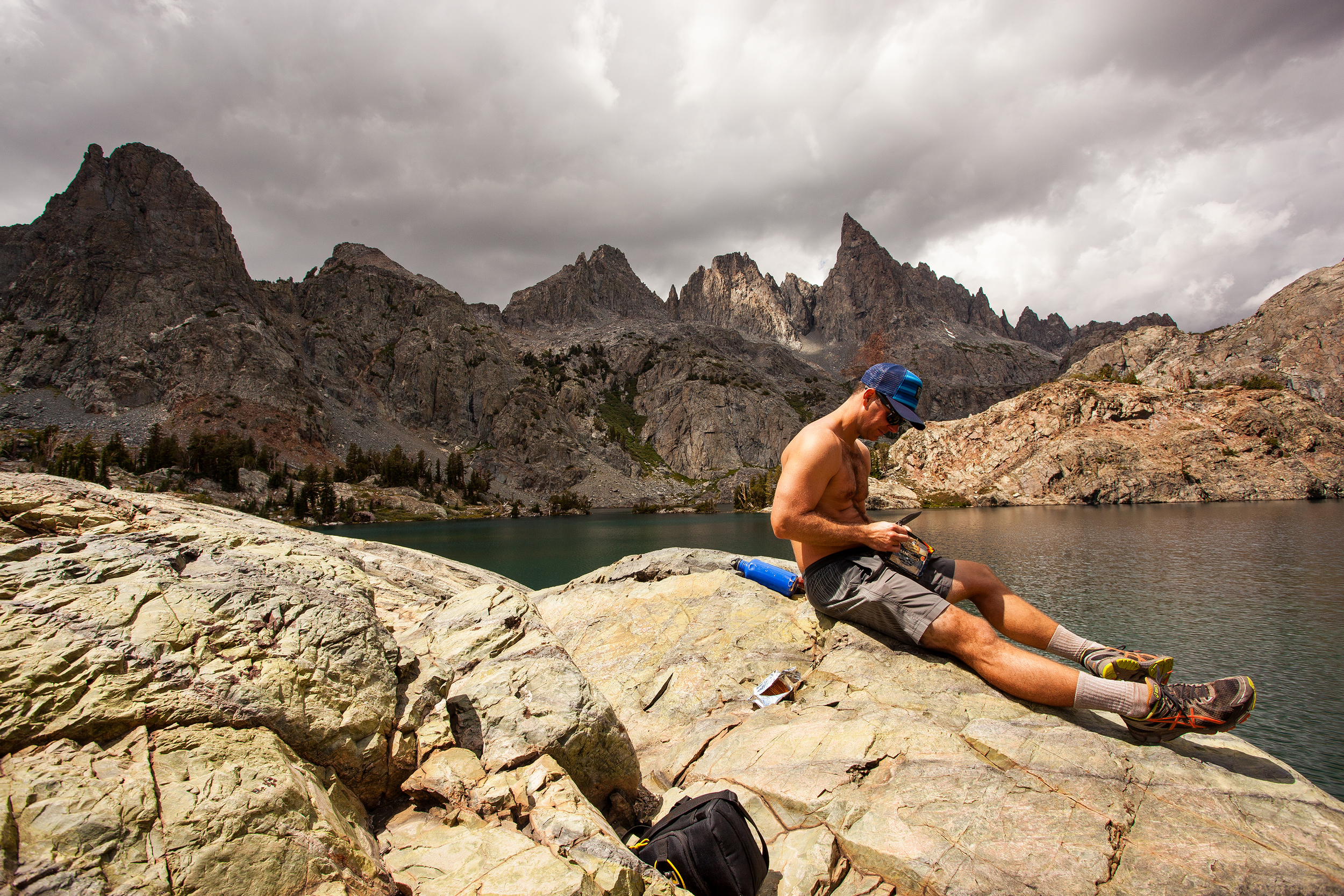
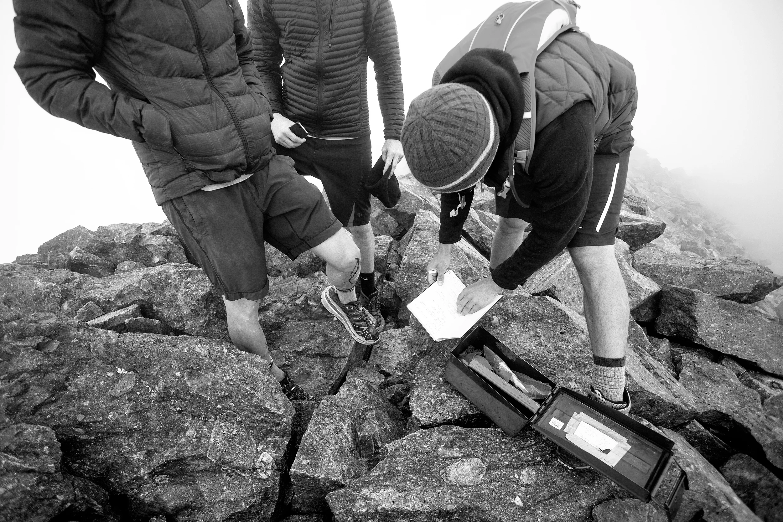
Day three (8/13/2014 - DeVore B-day) we rose early and broke trail at 7:30 am for the top of Ritter. We began with a scramble from the mouth of the glacier river at the base of Ritter up the south route on semi marked and unmarked trails. The route was uneventful until we reached the south west glacier at about 11,500 ft. We didn't know it but the south route included a rather unstable talus field up the main Owens Chute that made the climb difficult. The large and small boulders moved with ever step and grab as they slid on top of the glacial ice. This slope gave one of our crew of 5 too much of an un-easy feeling so he abandoned the climb at the base of the south glacier. The remaining 4 of us made it up to the saddle before the summit after a difficult hour of climbing. The Summit push took us up into the rushing mist shrouding the view but we made the summit at about 10:30 am after only about 3 hours of climbing 3,137 ft. We snapped a few photos, checked in with the digital world (thanks AT&T and line of sight RF) signed the summit book accordingly and began the decent. This also proved to be a challenge once we reached the talus lined glacier via the Maloy variation. We all escaped relatively unscathed with only minor cuts and some bloody shins on the birthday boy. Back at camp the agenda was as follows; calorie gorge, pump fresh water, relax, fish, whiskey, shooting stars, and crash out at 9:30 pm.
Strava Route :
Day four (8/14/2014) we were homeward bound via a 7 mile down hike to Agnew Meadows. The pervious three days of heavy hiking having taken its toll we were all happy to see the road and the shuttle bus take us to a friends Mammoth house for showers and Pizza. Unforgettable adventure. Thanks boys!